
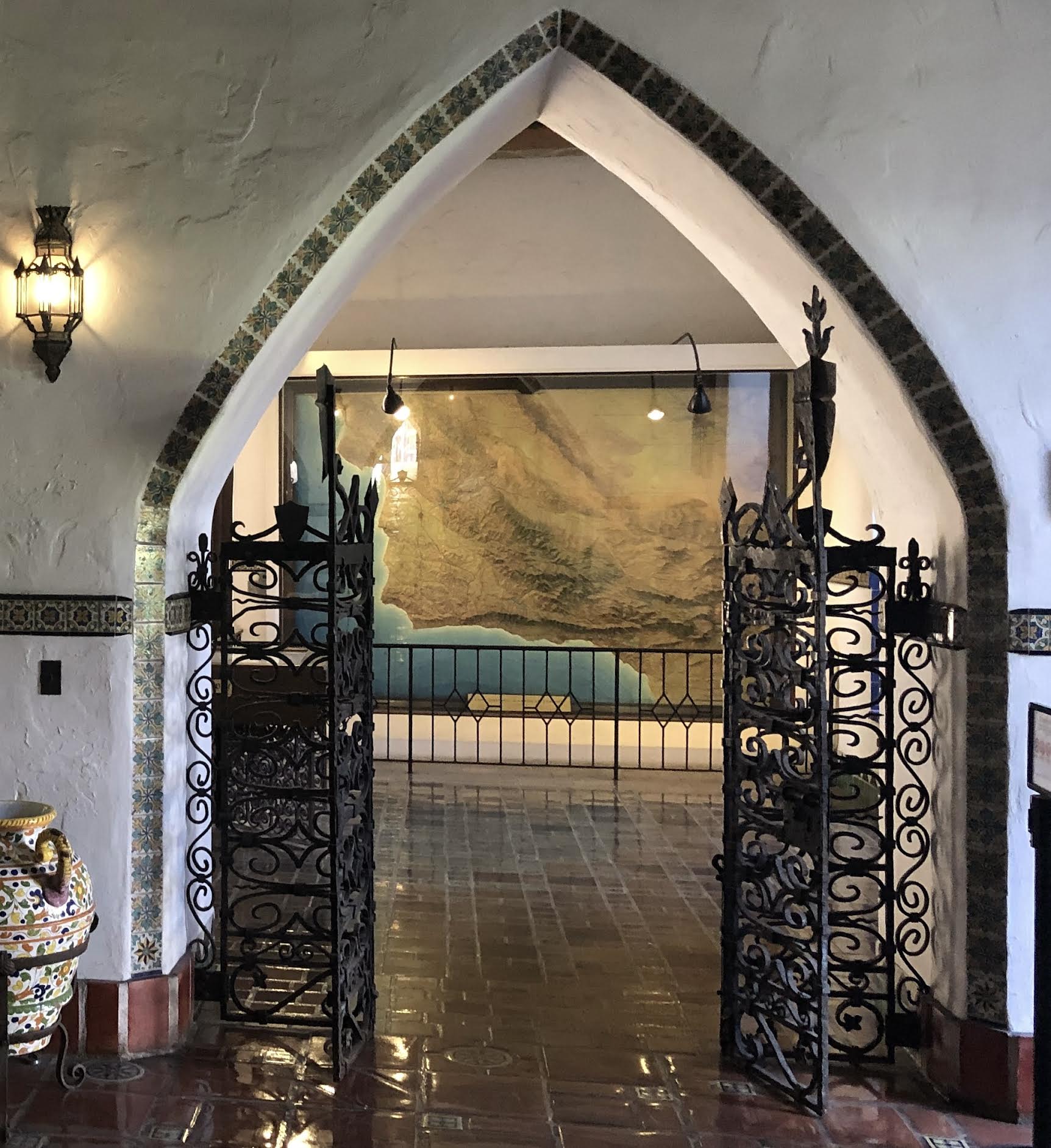
On the Map

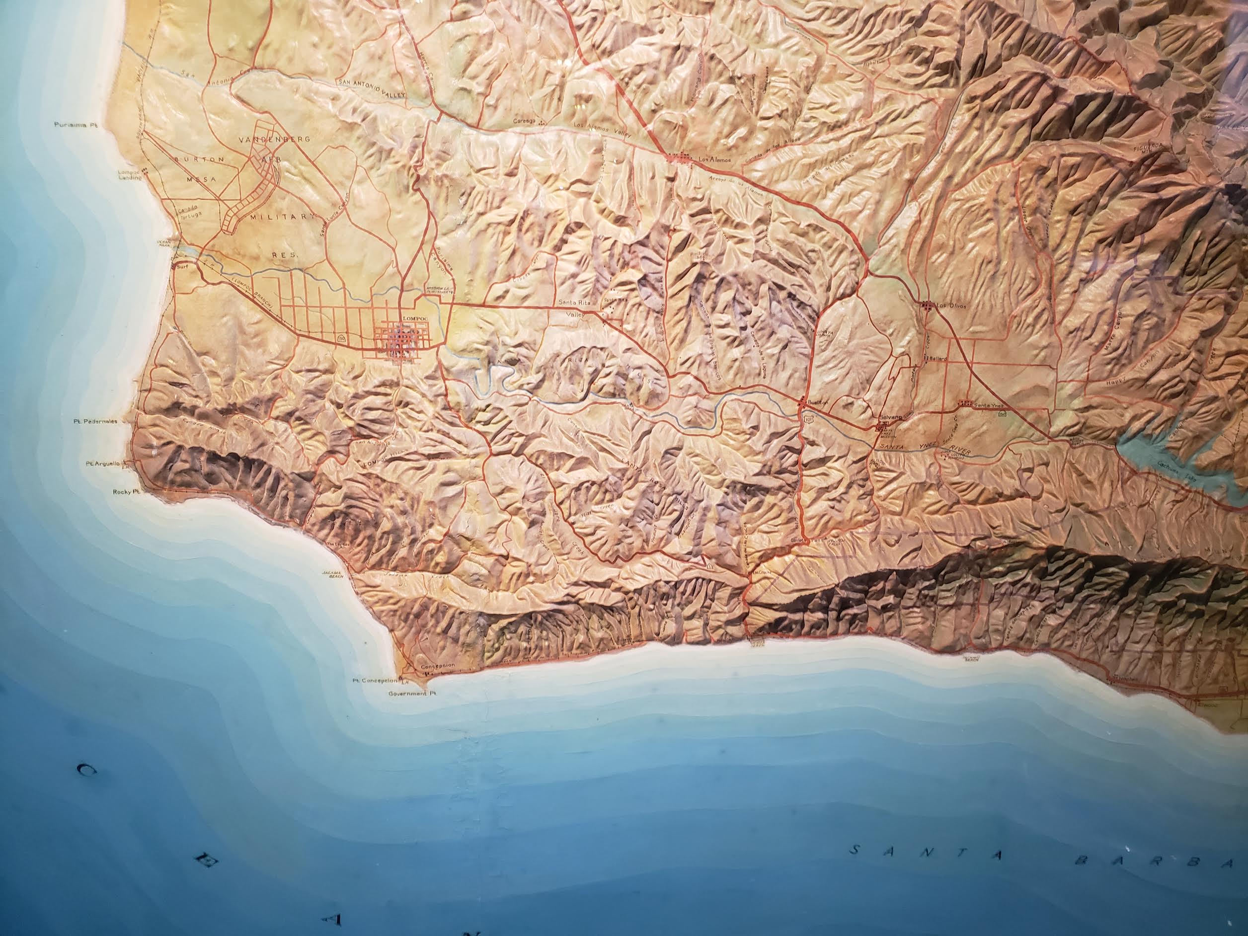
Thank you for the interesting article about the New Deal and Santa Barbara. I think your readers would enjoy knowing about another iconic example of New Deal projects, an 8×12-foot hand-painted relief map, hanging in the courthouse. It was completed in 1934 by the Civilian Conservation Corps and installed in the Courthouse in 1936. The forest service updated the map in 1961 to include the Cachuma reservoir, which had been completed in 1953.
The map covers a land area of 13,824 square miles, encompassing four counties: Santa Barbara, San Luis Obispo, Kern, and Ventura; and three mountain ranges: Santa Ynez, San Rafael, and Sierra Madre. Every landmark is identified by meticulous hand-lettering.
Dewey Livingston, a well-known California historian and mapmaker, analyzed the map in 2005, and commented: “In many years of seeking out the best of the relief maps existing in the west, this is perhaps the very best I have seen.”
Due to the security configuration at the courthouse, closeup public viewing of the map is available only on weekends and court holidays.
Previous plans to move the map were set aside due to extremely high cost, and fear of damage. The map frame is in dire need of updating to remove the loose reflective glass and mold forming underneath. Replacement of the frame and glass will cost several thousand dollars.
The Docent Council is investigating the best options to preserve the map and make it more accessible. We welcome input from those with relevant expertise and resources. Please contact the council at info@sbcourthouse.org.
You must be logged in to post a comment.