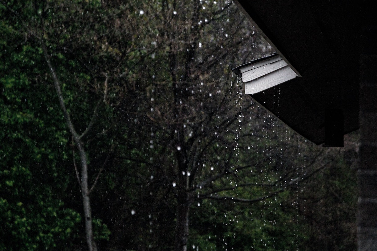
Major Storm to Impact Santa Barbara County
Recent Burn Scars at Risk of Flooding and Debris Flows

Press releases are posted on Independent.com as a free community service.
(SANTA BARBARA, Calif.) – A significant storm is expected in Santa Barbara County Wednesday, Jan. 4 through Thursday Jan. 5. Heavy rain, strong winds and high surf are expected across the County.
The National Weather Service has issued a Flood Watch for Santa Barbara County from Wednesday late afternoon through Thursday morning. The National Weather Service warns flooding caused by excessive rainfall is possible within the entire Watch area, with the greatest threat near or below the Alisal burn scar.
Recent storms have produced on south facing Santa Barbara County slopes 8-13 inches of rain in the last 30 days. Ground saturation is a concern as the forecast incoming storm may produce 4-8+ inches of rain on south facing slopes. This includes the area of the Alisal Fire burn scar (located in the Gaviota area west of Goleta), the Cave Fire burn scar (located in the Santa Ynez Mountains above Santa Barbara), and the Thomas Fire burn area.
Thus far, the local watershed and flood control systems have been able to handle the runoff properly and are prepared to manage the incoming rain. However, it remains imperative for community members to monitor the weather closely and be prepared for changing conditions that may require evacuation.
The National Weather Service has provided the following forecast for the Santa Barbara County South Coast:
• Steady, moderate rainfall expected, starting Wednesday
• Rainfall becomes heavy Wednesday afternoon into early Thursday morning
• Rain becomes light and showery by Thursday afternoon however, high intensity, short duration thunderstorms are possible through Thursday evening as the front exits our area.
• Rain rates are expected to be in the 0.5-1.0 inch per hour range with locally higher amounts possible at higher elevations
• Strong south-southwest wind gusts 60-70 mph in the Santa Barbara County mountains starting Wednesday
• High Surf Advisory for South Coast beaches with waves 8-13 feet Wednesday-Friday.
Residents should remain vigilant.
Before the Rain:
• If you live in the Alisal, Cave or Thomas burn area and are concerned that this storm may cause unsafe conditions to your home, leave the area before rain starts. Do not wait for an official evacuation notification to leave.
• Sandbags and information about protecting your home from flooding can be found at: https://www.readysbc.org/576/Storm-Readiness
During Rain:
• If you feel unsafe during the rainfall, shelter in place in your home by gathering your family and pets in the inner most room of your house, preferably on the top floor if you live in a multi-story home.
• Do not attempt to drive at night or while it is raining, as roads may be damaged and your car may be swept away by moving water or debris.
After the Rain:
• Following a storm, County Public Works cannot guarantee immediate access in or out of the area to residents along county roads.
• Crews will clear roads of mud and rock slides when it is safe to do so.
• Residents must be prepared to stay in or away from their home for multiple days during and after rain events.
Public safety officials are keeping a close eye on the incoming storm and the Alisal burn scar. Officials will continue to work together to further assess if protective actions, such as an evacuation warning, evacuation order, or shelter in place are necessary.
Register for Emergency Alerts to receive any changes in protective actions.
