[Update: Jan. 3, 2023, 2 p.m.] The National Weather Service on Tuesday issued a Flash Flood Watch in Santa Barbara and S.L.O. counties for Wednesday morning through Thursday afternoon. Click here for the latest story.
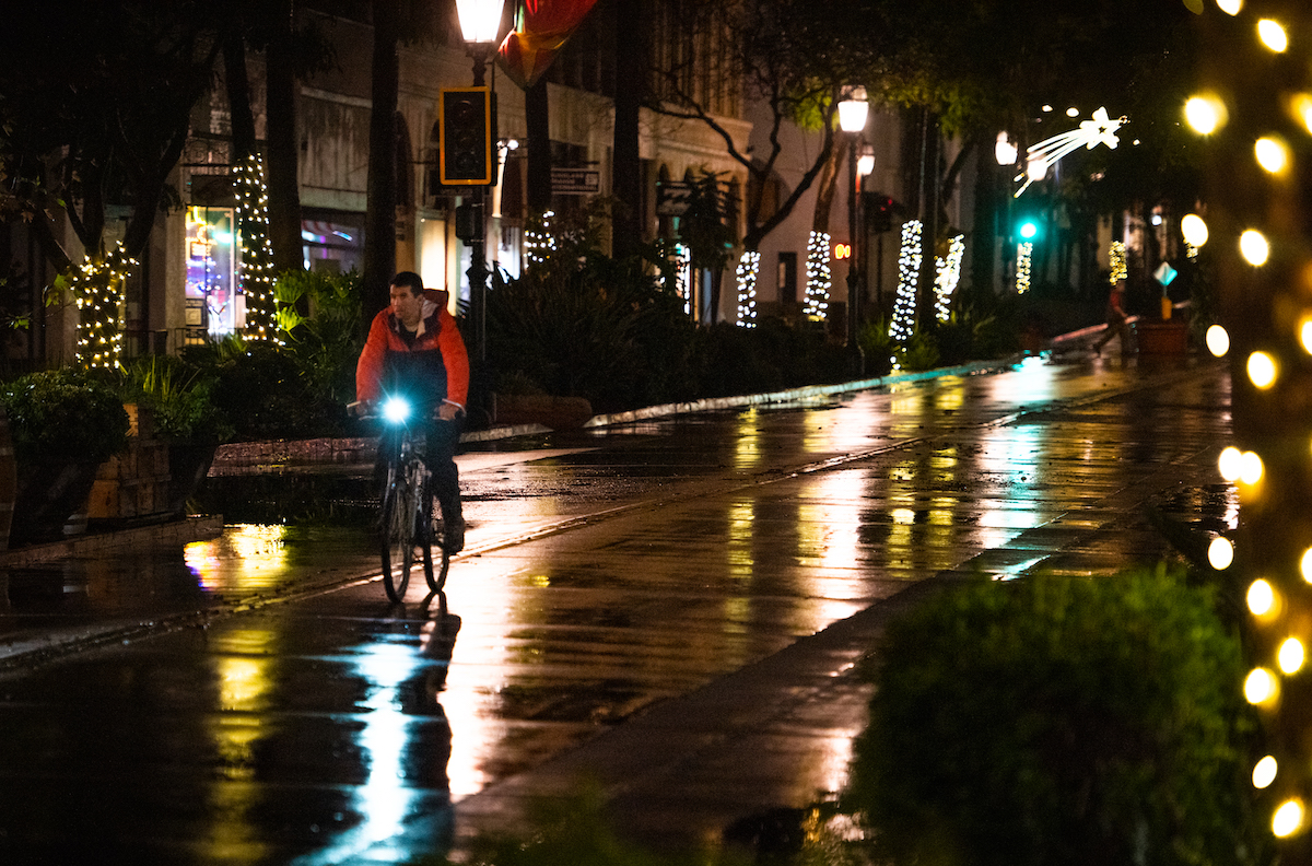
[Original Story] A plump covering of clouds, pregnant with rain, dropped about three inches on coastal Santa Barbara last week. And more is on the way.
The National Weather Service is forecasting a good amount of sprinkles on Monday through Tuesday, but is sending out early warnings for a gully washer starting Wednesday and continuing through Thursday. Around six to seven inches of rain are currently expected along south- and southwest-facing slopes of the Santa Ynez Mountains from that storm, with a possibility of one inch per hour as the clouds lift up and over the slopes and cool in the cold winter air.
Last week’s rains refreshed the front-country creeks, which are running harder than before, indicating that the soil is fairly saturated. At about 5 a.m. on December 28, a eucalyptus tree spontaneously collapsed across the southbound lanes of Highway 101 near El Capitan Ranch Road. Four vehicles crashed into the tree, injuring seven people.
After Monday’s rains pass through, Tuesday should be a sunnier day with temps in the high 50s to low 60s, but wind will begin pushing rain clouds and also a possibility of snow down to 5,000 feet overnight. The peak of the rain is expected to occur from 3 a.m. Wednesday to mid-day Thursday, delivering one and a half to two inches along the coast on up to seven inches in the mountains.
So far, Santa Barbara County precipitation stands at 52 percent of the rain expected for the current water year, which runs from September to August, according to the county’s Hydrology Section. Of the rainfall that is historically “normal” up through early January, the county has received 166 percent — or between 21 inches (at San Marcos Pass) and three inches (in Cuyama) as of January 2.
All these inches of rain, however, have had little effect on the South County’s main reservoir, Lake Cachuma, which is at 31.9 percent capacity. Though the December 28 storm dropped 156 acre-feet of water on the lake’s surface, between the water drawn by municipalities and losses to evaporation, that amount was zeroed out by the following day. (The Bureau of Reclamation, which operates Cachuma, has not yet reported figures for the heavier storm on December 31.)
Only a “chance” of rain is forecast Friday through Sunday in Santa Barbara. The northern part of the state, which suffered blackouts and floods this past week, is “more likely to get hammered,” according to the National Weather Service.
Support the Santa Barbara Independent through a long-term or a single contribution.


