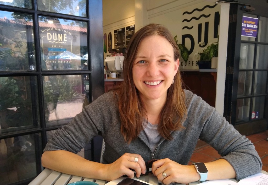
When UCSB geography professor Trisalyn Nelson had a close call on her bike while waiting at an intersection in Vancouver, British Columbia, she remembered thinking, “If I die on this bike, it will be at this intersection.” Nelson, however, is not only an avid bicyclist, but she is also a specialist in Geographic Information Spatial (GIS) data and the holder of the Jack and Laura Dangermond Endowed Chair at UCSB’s Geography Department. She decided to do something about bike safety.
After her brush with death, she began a website where cyclists could put dots on maps indicating where they had dangerous encounters while on the road. At first, she dubbed the site Flipping the Bird. Now, it’s the more sober and respectable BikeMaps.org, which has collected 11,000 data point dots from 40 different areas. Each dot on the map tells a tale of some mishap — a crash, a collision, a stolen bike, or just a near-miss.
Santa Barbara is next.
Next month, on July 28, Nelson is launching the crowdsourcing debut for Santa Barbara’s version of BikeMaps.org at Bici Centro on Haley Street. SBBIKE and COAST are co-sponsoring what Nelson hopes will be a bike safety “map-a-thon.”
Among Nelson’s biggest discoveries so far: “Police get data from places where there are lots of cars. We get data where there are lots of bikes.”
Nelson and her geospatial data co-conspirators rely on all the usual official sources. But they mix in data from apps such as Strava, and they rely significantly on crowdsourcing. Not every crash, she says, results in an ambulance ride or an official police report. Official stats, she reckoned, capture only about 20 percent of the actual incidents.
These dots help cyclists plot a new route: which way should they go and which streets to avoid. But the absence of data dots does not necessarily mean the area is safe. “Some areas are just so dangerous that nobody rides there,” she noted. But the real hope is to provide meaningful risk data to public works officials and local elected leaders when they’re figuring out how to fund road infrastructure projects.
Sign up for Indy Today to receive fresh news from Independent.com, in your inbox, every morning.
Nelson has blue-gray eyes, a quick smile, and an easy laugh, and on occasion, she’ll punch the sky to emphasize a point. Fusing the zeal of an activist with the granular focus of a scholar, she makes no bones about her agenda: more bike paths. And by that, she means more bike paths that physically separate cyclists from motorists. A splash of green paint to indicate a bike lane will do nothing to allay the fears of “risk-adverse” riders. And without ameliorating such fears, Nelson argues there’s little chance of making an appreciable dent in the greenhouse-gas emissions fueling climate change.
Nelson and her husband — also a UCSB geographer — came to Santa Barbara from Canada, where she grew up the daughter of hippie parents. She and her husband have two kids, ages 10 and 14. The whole family rides. As much as Nelson loves riding, she still worries about safety for her kids and everyone else.
For example, she says, “I won’t ride on Hollister. The data shows they’ve lots of crashes.” Next year, her 14-year-old son starts at Dos Pueblos High School. She worries about Patterson Avenue near Cathedral Oaks, so the plan now is to drive her son part of the way and let him ride the rest.
There’s no excuse, she says, for a community endowed with all the natural advantages of Santa Barbara to not have the best bicycle infrastructure in California. How far off the mark are we? “Super far off,” Nelson says.
In recent years, the City of Santa Barbara has invested many millions in new bike lanes; some qualify as splashes of green paint on the road, while others create the physical separation from traffic that Nelson says is necessary. These are good, Nelson says, but too many gaps remain.
Santa Barbara, she’s noted, has done without reliable traffic counts for bicycle riders for eons. Now, she is shaking the bushes for funding — around $200,000 — hitting up major players in the bicycle industry, but thus far without success.
Nelson is aware she’s entering what’s becoming an increasingly heated conversation about transportation options. She was thrilled that Santa Barbara’s City Council closed downtown State Street to cars. But she recognizes that public irritation with cyclists is increasing. The downtown wheelie-poppers, Mesa kids on e-bikes, and aggressive members of the Lycra crowd are regarded in some quarters as a growing menace. “There are three schools of thought here,” she said. “We can deal with this with more education. We can deal with it with more enforcement. But if we create new infrastructure for these riders, maybe it won’t be such a problem anymore.”
Support the Santa Barbara Independent through a long-term or a single contribution.

