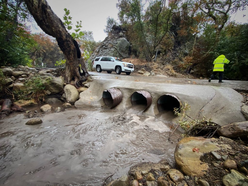
The drops have started to fall in what is anticipated to be 3-6 inches of rain in the foothills and mountains of Santa Barbara County through Tuesday morning. Most at risk are residents of the foothills that burned in the Alisal Fire in October, an area that is under an evacuation order and a flash flood watch. Across the rest of the county, about 2-3 inches are expected, said Mark Jackson of the National Weather Service.
The heaviest rain is expected between 9 p.m. tonight and 3 a.m. tomorrow morning, Jackson said. Strong and damaging south winds were also in the forecast, he said, which could leave downed trees and powerlines in their wake. Tuesday’s rain will be followed by sprinkles on Thursday, said Jackson, with wet weather continuing for a week or two across the Christmas period.
In Montecito, the Fire Protection District sponsored a storm readiness meeting on Thursday, as it has annually since 2017’s Thomas Fire. The vegetation in the hillsides has grown back and is covering the ground to about 90 percent, decreasing the risk of mudslides and debris flow greatly. Debris basins and waterways have been cleared, and although the one at Randall Road is only partially completed, it is functional, said Jon Frye with county Public Works.
Of note was that of the 1,508 properties that were considered at risk in the winter of 2018, the year of the Montecito debris flow, that number went down to 355 parcels this year, said Fire Chief Kevin Taylor. Even though Montecito was a little safer, the chief said, some risk still remained for the next couple of years. Should the area receive 8-10 inches of rain over a couple of days and the soils become saturated, Taylor said as a forecast, and then be followed by predictions of a high-intensity rain cell, an evacuation order could be possible.
The interactive map showing areas affected post-Thomas Fire — an address can be typed in to zoom into the map — can be found at readysbc.org under the “maps” button.
Support the Santa Barbara Independent through a long-term or a single contribution.

