While the rest of us have been distracted by the triple threat of a global pandemic, a crashing economy, and an upcoming presidential election, Santa Barbara city staff have been quietly formulating the beginnings of a roadmap to address the most insidious menace of all ― sea-level rise. This Tuesday, staff made a draft version of the Sea-Level Rise Adaptation Plan available for public review through September 30. Find it at santabarbaraca.gov/slr, and submit comments to SLRAdaptationPlan@SantaBarbaraCA.gov. A public question-and-answer webinar will also be held.
The plan is largely based on projections from a 2018 statewide analysis of potential sea-level rise scenarios ― near-term (2020-2030): 0-0.8 feet; mid-term (2030-2060): 0.8-2.5 feet; and long-term (2060-2100): 2.5-6.6 feet. Its first recommendation is developing a Shoreline Monitoring Program in coordination with regional, state, and federal agencies, the results of which will help inform how the city prioritizes protecting its six miles of coast. Without any interventions, staff estimated sea-level rise could cost Santa Barbara more than $4 billion in direct economic and property damage by the end of the century.
Get the top stories in your inbox by signing up for our daily newsletter, Indy Today.
Over the next 10 years, the plan suggests raising or modifying the harbor’s breakwater, rock groin, sandspit, and sidewalks, as well as renovating marinas and piers in phases to raise marina piles; adding sand and building dunes at East Beach, Leadbetter Beach, and Arroyo Burro Beach; relocating or flood-proofing major infrastructure south of Cabrillo Boulevard; and redesigning the Laguna Creek tide gate and pump system, among other things.
In the longer term, several major decisions will have to be made, the draft plan says, including whether to allow rock revetments and slope stabilization along the Mesa bluffs to protect Shoreline Drive, or plan for rerouting the entire road and associated infrastructure. Also to be determined is whether to pursue large-scale flood-protection measures for low-lying areas, such as shoreline protection devices or levees along the city’s waterfront, and levees or floodwalls along lower portions of major creeks.
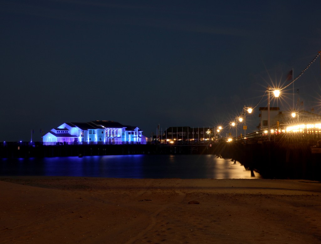
The city will eventually have to decide if it should reconstruct, redesign, or remove Stearns Wharf, as well.
Every day, the staff of the Santa Barbara Independent works hard to sort out truth from rumor and keep you informed of what’s happening across the entire Santa Barbara community. Now there’s a way to directly enable these efforts. Support the Independent by making a direct contribution or with a subscription to Indy+.

