Thomas Fire Now Officially Fourth Largest in State History
As of Thursday Morning, it Stands at 242,500 Acres, is 30% Contained

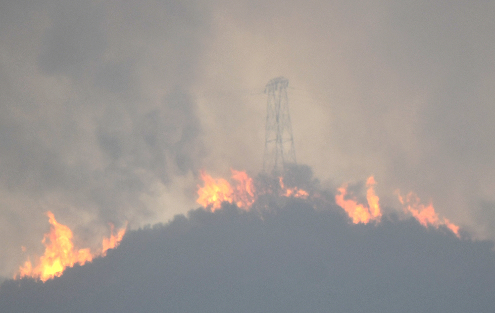
Despite swallowing large swaths of Ventura and Santa Barbara counties over the last week and a half, the Thomas Fire has slowed down — for now.
An incident report published 7 a.m. Thursday morning puts the fire at 242,500 acres and 30 percent containment. Its burn area is now larger than the Zaca Fire’s, which torched 240,207 acres in 2007, and the blaze has officially become the fourth largest fire in California’s recorded history.
Investigators have still not determined a cause. As of Thursday morning, there are 8,144 firefighters on the front lines, and Cal Fire said costs have reached $74.7 million.
The hope, Cal Fire officials said, is to continue attacking the flames from the air as long as weather permits. At a town hall meeting Wednesday afternoon, Mark Brown, the operations section chief for the Thomas Fire, said that the back-up plan is to push the fire toward the burn areas of the Jesusita and Tea fires, where it will be easier to control as it consumes younger fuels. In another option, Plan C, firefighters would create a controlled burn area between the Cold Springs trailhead and San Ysidro Creek, leaving nothing for the Thomas Fire to consume if it approaches the area.
A Red Flag Warning has been issued for Ventura County through 10 a.m. Friday. Over the weekend, firefighters could see the flames flare up as gusts hit the mountains, “pushing any smoke and fire to the south,” said Stuart Seto, a weather specialist with the National Weather Service.
Evacuation warnings have been lifted in parts of Ventura County, between the Santa Barbara/Ventura county line and State Route 33. Mandatory evacuation orders remain in place north of Highway 192 between Highway 150 and Mission Canyon Road. Areas south of Highway 192 between Highway 150 and Mission Canyon Road remain under evacuation warning.


