[National weather service, Los Angeles/ Oxnard, 2:02 pm, July, 13] A Flash Flood watch remains in effect for portions of Los Angeles, Ventura, and Santa Barbara counties, including several recent burn areas.
A strong monsoonal surge has brought significant moisture into southwestern California. Several thunderstorms have already formed over the area, and will continue to form and increase in coverage through the afternoon and evening.
These thunderstorms will likely produce heavy downpours. In addition, upper level winds are very light. As a result these thunderstorms will be slow moving and will have the potential to produce flash flooding.
Thunderstorm activity may last through the night, but the heaviest downpours are expected through this evening.
The greatest potential for flash flooding will be in the Antelope Valley, the mountains of Santa Barbara, Ventura, and Los Angeles counties excluding the Santa Monica range.
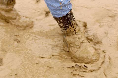
Particularly vulnerable will be the burn areas of fires that have occurred in the last two years including the Santa Anita and Big Horn burn areas which occurred earlier this year. Any flash flooding that occurs in the recent burn areas could be accompanied by significant mud and debris flows


